The Digital Backbone of Grassland Restoration
This is the third article of our Grasslands blog series. It was written by our fellow Amina Bold, who is currently a Doctor's of Philosophy candidate in Socio-Legal Studies at the University of Oxford.
Achieving the full climate potential of grasslands requires not only sustainable land-use practices, but also accurate and transparent systems for measuring ecological change. Climate change has exacerbated existing challenges in managing Mongolia’s rangeland ecosystems, including droughts and shifting ecological patterns. Researchers have identified a lack of sustained scientific monitoring of Mongolian grasslands, which makes it more difficult to understand how these ecosystems are changing and what they need to recover.
Effective grassland protection depends on systems capable of generating credible evidence and translating that evidence into decision-making across different institutional levels. Data-driven grassland intervention is particularly important in Mongolia, where rangelands are highly sensitive to both climatic and managemental pressures. Fixed grazing regimes are often poorly suited to such landscapes because they assume relatively stable ecological conditions. In practice, pasture quality, forage availability, biomass productivity, and carrying capacity shift across time and place. Static grazing rules can therefore miss early signs of degradation, fail to reflect changing ecological realities, and limit herders’ ability to adapt mobility patterns to actual land conditions.
As a result, long-term ecosystem stability depends on adaptive, data-driven management. Adaptive management makes it possible to respond to changing weather patterns, biomass productivity, species composition, soil carbon flux, and human pressure as they occur, rather than relying on infrequent assessments or static assumptions. In Mongolia, where rangelands can vary significantly across seasons and regions, this responsiveness is essential.
What are MRV systems and what can they do?
MRV stands for Monitoring, Reporting, and Verification. It is a framework used to track and validate data.
Measurement, reporting, and verification, or ‘MRV’, matters so much in the rangeland context. Governance decisions are only as strong as the evidence on which they rely. If biomass, grazing intensity, vegetation change, or soil carbon are measured inconsistently or too infrequently, it becomes difficult to distinguish between short-term fluctuation and structural degradation. In this context, poor measurement does not just create scientific uncertainty. It weakens restoration planning, obscures carrying-capacity stress, and makes it impossible to identify where interventions are most needed.
In Mongolia’s rangelands, decisions affecting pasture use, mobility, restoration, and monitoring are often dispersed across local officials, herder groups, researchers, and project actors that do not always operate with the same information or on the same timelines. As a result, rangeland management can be uneven, with weak coordination between those monitoring ecological change and those responsible for responding to it. Robust MRV systems can aid those who steward the grasslands by creating a unified evidence base on which to make decisions from.
URECA’s own research has shown that regulated pasture management can increase both biomass and species diversity in rangelands, improving carbon storage and ecosystem resilience. However, putting such findings into practice requires systems that can monitor ecological change continuously and translate that information into locally usable decisions. This is where digital MRV, or ‘dMRV,’ becomes particularly important.
Building Mongolia’s Rangeland dMRV Infrastructure
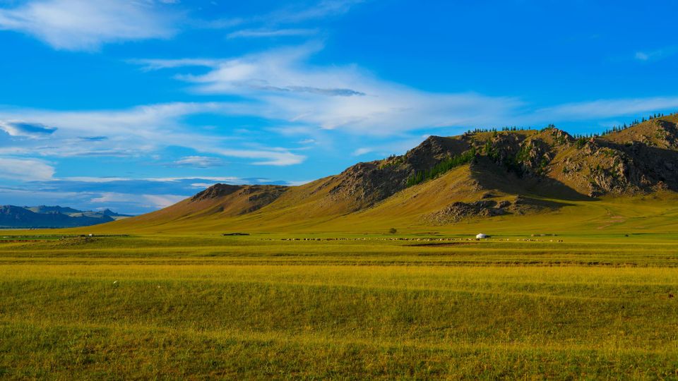
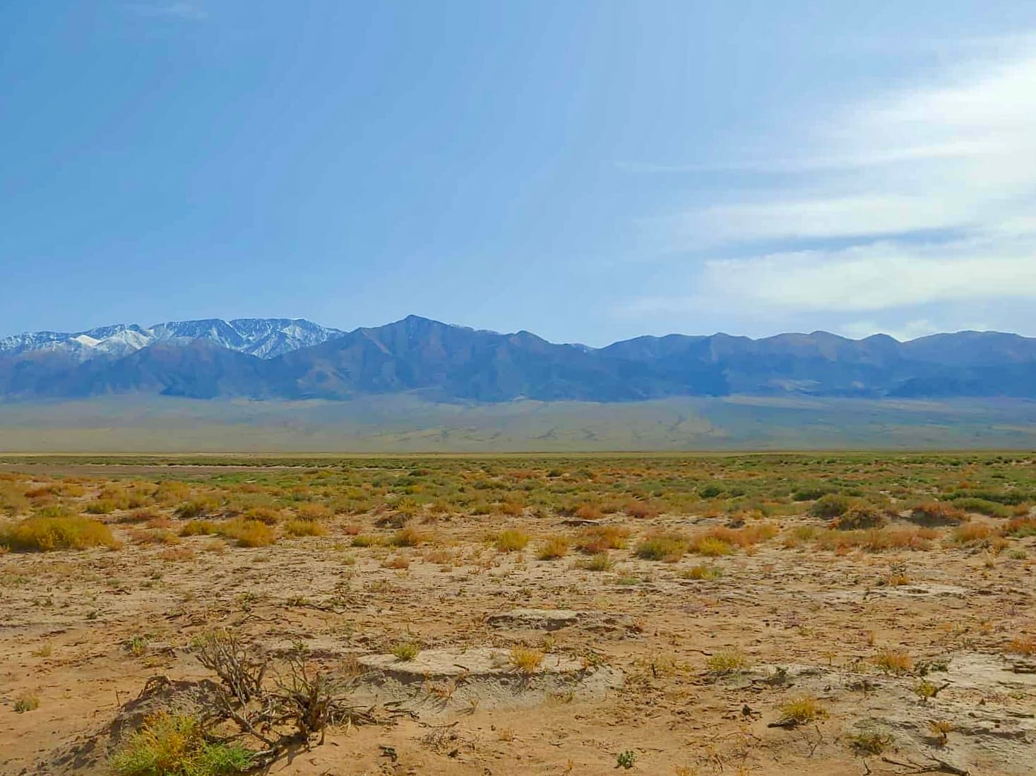
Emerging monitoring technologies have created new possibilities for assessing rangelands at a scale and level of precision that were previously difficult to achieve. Since 2022, URECA has advanced Mongolia’s rangeland monitoring and restoration efforts through a combination of field-based and digital methods, including soil studies, satellite analytics, multispectral drone surveys, and close collaboration with herders in Bayankhongor and Zavkhan, partnering with GoodGrowth and The Asia Foundation.
Each of these methods contributes something different. Soil studies generate baseline information on soil condition, carbon stocks, and ecological change at ground level. Satellite analytics make it possible to monitor vegetation patterns and landscape shifts across large areas over time. Multispectral drone surveys add a higher-resolution layer, helping identify localized changes in biomass, plant cover, and land condition that may not be visible through satellite data alone. Combined with herder knowledge and field observations, these methods create a more reliable picture of how rangelands are changing and what interventions may be appropriate.
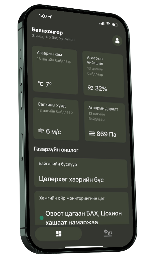
In partnership with GoodGrowth, URECA drew on three years of consolidated research to launch the Rangeland dMRV and Management Platform in 2025. By bringing together indicators such as biomass, soil health, vegetation cover, plant biodiversity, and grazing patterns within a single system, the platform gives herders, researchers, and policymakers access to a robust evidence base for evaluating landscape change.
URECA's machine learning model on plant recognition, based on dMRV
Strengthening Adaptive Management
The platform’s significance lies not only in the data it gathers, but in the type of management it makes possible. Unlike static compliance systems or infrequent survey-based assessments, a digital MRV system tailored to rangelands allows ecological change to be monitored on an ongoing basis and management responses to be adjusted accordingly. This supports adaptive rangeland management by making it easier to respond to changing environmental conditions with more precision.
URECA’s work also addresses an important technical gap in climate mitigation policy. By integrating satellite observations, biomass modelling, and field-based monitoring into a unified platform, it has developed a scalable dMRV system specifically designed for rangeland ecosystems. URECA and GoodGrowth have collected data on grazing intensity, mobility patterns, and vegetation change at a level of resolution capable of supporting both local stewardship and policy planning.
Better measurement does not only improve ecological understanding; it also improves coordination between local administrations, herder groups, and researchers. A shared evidence base can help reduce fragmentation in decision-making and create the institutional conditions necessary for more resilient and responsive rangeland management.
The platform also produces verification-ready outputs that align with standards such as VM0032 and ISO 14065. Compliance with these standards matter because they help translate ecological monitoring into carbon-accounting claims that can be assessed consistently by outside parties. Verra’s VM0032 provides a methodology for evaluating how changes in grazing and land management can generate measurable climate benefits in grassland systems. ISO 14065, meanwhile, sets out principles for quantifying and reporting greenhouse gas emissions and removals in a transparent and consistent way. Alignment with these standards helps ensure that ecological improvements can be translated into claims that regulators, auditors, and carbon-market actors can assess and trust.
VM0032 (“Adoption of Sustainable Grasslands through Adjustment of Fire and Grazing”) is a Verra-verified methodology designed to quantify greenhouse gas emission reductions and removals from sustainable land management practices that enhance soil carbon and optimize fire regimes.
ISO 14065 is an international standard that specifies the general principles, requirements, and competence criteria for bodies performing validation or verification of environmental information statements. Entities certified with ISO 14065 can validate and verify statements on greenhouse gases, carbon footprints, and green bonds to ensure accuracy, impartiality, and consistency.
Closing the Climate Finance Gap
Robust monitoring also strengthens the technical integrity of grassland carbon projects and expands opportunities for investment in grasslands as carbon sinks. High-frequency, geo-referenced data improves the accuracy of carbon sequestration estimates, reduces uncertainty in carbon accounting, and supports verification under recognized international standards.
Improved data quality translates into higher-confidence carbon credits. That confidence matters because investors, regulators, and credit buyers need assurance that the claimed carbon benefit is real, measurable, and durable. Where monitoring is weak, credits are more vulnerable to challenge over whether the underlying carbon benefit can be verified. Where monitoring is robust, restoration outcomes become easier to attribute, assess, and finance. As a result, higher-confidence credits are not just a technical improvement; they are what make long-term restoration finance more viable.
Thus, dMRV systems have an important role to play in unlocking climate finance in Mongolia. Robust monitoring infrastructure strengthens the scientific integrity of grassland carbon projects by improving the accuracy of sequestration estimates, reducing uncertainty in carbon accounting, and supporting independent verification. These qualities are essential in both Article 6.4 carbon-crediting frameworks and voluntary carbon markets, where investors and regulators require high-resolution, attributable, and methodologically consistent data. Better monitoring therefore does not just improve ecological assessment. It also expands the financial viability of grasslands as credible carbon sinks and creates stronger incentives for restoration.
Comments ()